2010
NK1147 : The Collie Burn
taken 14 years ago, near to Peterhead, Aberdeenshire, Scotland
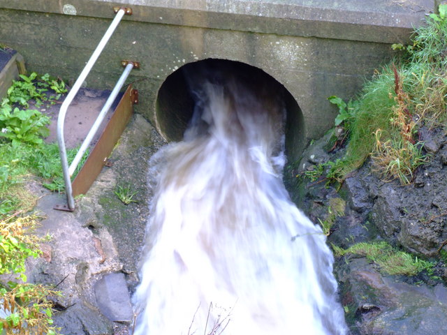
The Collie Burn
The Collie Burn enters a culvert to take it beneath the A982 on its way to join the river Ugie.
 Map © Crown Copyright")
TIP: Click the map for more Large scale mapping
- Grid Square
- NK1147, 14 images (more nearby 🔍)
- Photographer
- Iain Smith (more nearby)
- Date Taken
- Thursday, 30 September, 2010 (more nearby)
- Submitted
- Thursday, 30 September, 2010
- Subject Location
-
OSGB36:
 NK 114 473 [100m precision]
WGS84: 57:30.9766N 1:48.6413W - Camera Location
-
OSGB36: NK 114 473
- View Direction
- East-northeast (about 67 degrees)