2010
NN0554 : Gleann Duror Forest
taken 14 years ago, 4 km SSW of Ballachulish, Highland, Scotland
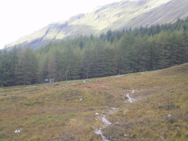
Gleann Duror Forest
Approaching gateway to forest on the path from Ballachulish with the lower slopes of Beinn a' Bheithir behind.
 Map © Crown Copyright")
TIP: Click the map for more Large scale mapping
- Grid Square
- NN0554, 3 images (more nearby 🔍)
- Photographer
- Alan Barlow (more nearby)
- Date Taken
- Thursday, 30 September, 2010 (more nearby)
- Submitted
- Sunday, 3 October, 2010
- Subject Location
-
OSGB36:
 NN 05 54 [1000m precision]
WGS84: 56:38.5072N 5:10.4105W - Camera Location
-
OSGB36: NN 0594 5454
- View Direction
- WEST (about 270 degrees)