J3374 : Lower North Street, Belfast 10 October 2010 (6)
taken 14 years ago, near to Belfast, Co Antrim, Northern Ireland
This is 1 of 6 images, with title starting with Lower North Street, Belfast 10 October 2010 in this square
Lower North Street, Belfast 10 October 2010 (6)
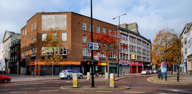
The Bridge Street (foreground) end with Rosemary Street on the left.
Lower North Street, Belfast 10 October 2010
A street, running from Bridge Street to Royal Avenue, in existence for more than 200 years. Always a secondary shopping street, it was outside the security barriers during the bombing campaign and never recovered. The fire at the North Street Arcade, in 2004, seemed to be the lid on the streets coffin. There has been an on/off/on/off redevelopment proposal, for a number of years, which has still to take place. In the meantime it sits in a state of desolation. This is a series of photographs taken, as a record, on the morning of Sunday 10 October 2010.
![Creative Commons Licence [Some Rights Reserved]](https://s1.geograph.org.uk/img/somerights20.gif)
|
· Find out How to reuse this image ·
Share:
|
|||||
|
There is 1 post in a
discussion on J3374 (preview on the left) |
Suggest an update to this image | Contact the contributor | |||
Loading map... (JavaScript required)
- Grid Square
- J3374, 3632 images (more nearby
 )
)
- Photographer
- Albert Bridge (find more nearby)
- Date Taken
- Sunday, 10 October, 2010 (more nearby)
- Submitted
- Sunday, 10 October, 2010
- Category
- Street (more nearby)
- Subject Location
-
Irish:
 J 339 744 [100m precision]
WGS84: 54:36.0424N 5:55.7012W - Camera Location
-
Irish: J 339 744
- View Direction
- West-northwest (about 292 degrees)
Image classification(about):
Geograph
This page has been viewed about 225 times.
View this location:
KML (Google Earth) ·
Google Maps ·
Bing Maps ·
Geograph Coverage Map ·
More Links for this image
·
Bing Maps ·
Geograph Coverage Map ·
More Links for this image