2006
SS8640 : Abandoned field on Hoar Moor
taken 18 years ago, 3 km from Exford, Somerset, England
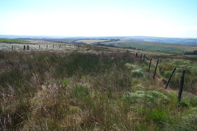
Abandoned field on Hoar Moor
The fence posts surround an enclosure which has reverted to bog grass. This marshy area is the source of the River Quarme, a tributary of the Exe.Beyond the fence, but too small to see, is a group of deer.
 Map © Crown Copyright")
TIP: Click the map for more Large scale mapping
- Grid Square
- SS8640, 16 images (more nearby 🔍)
- Photographer
- Barbara Cook (more nearby)
- Date Taken
- Thursday, 3 August, 2006 (more nearby)
- Submitted
- Thursday, 3 August, 2006
- Subject Location
-
OSGB36:
 SS 861 408 [100m precision]
WGS84: 51:9.3050N 3:37.8014W - Camera Location
-
OSGB36: SS 860 409
- View Direction
- South-southeast (about 157 degrees)