J3475 : The Cushnahan Quay, Belfast (5)
taken 13 years ago, near to Belfast, Co Antrim, Northern Ireland
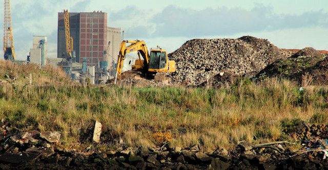
Not a proper quay in that it has no face capable of handling ships. Previously known as the Queens Island Wharf (western side). Its southern end faces the Abercorn Basin. Due for (eventual) re-development as part of the Titanic Quarter.
A vacant site between Titanic Belfast and the SS Nomadic display at the Hamilton Dock.
The following planning permission (26 June 2008 now expired) applied Z/2006/2864/O Residential led mixed use development including Titanic Experience Building, public realm areas and associated infrastructural works. Titanic Quarter Phase II-Land bounded to the south by Abercorn Basin, to the east by Queen's Road, to the west & north by River Lagan and including the listed former Harland & Wolff HQ, Belfast.
There is the following application (5 July 2019) for planning permission LA04/2019/1636/F Erection of hotel comprising 276 beds, conference facilities, restaurant /café/bar uses (including roof top bar), landscaped public realm, car parking and associated site and road works. Lands directly south of Titanic Belfast and North-West of Hamilton Dock located off Queens Road Belfast.
![Creative Commons Licence [Some Rights Reserved]](https://s1.geograph.org.uk/img/somerights20.gif)
|
· Find out How to reuse this image ·
Share:
|
|||||
| Start a discussion on J3475 | Suggest an update to this image | Contact the contributor | |||
- Grid Square
- J3475, 773 images (more nearby
 )
)
- Photographer
- Albert Bridge (find more nearby)
- Date Taken
- Sunday, 31 October, 2010 (more nearby)
- Submitted
- Sunday, 31 October, 2010
- Category
- Development site (more nearby)
- Subject Location
-
Irish:
 J 349 753 [100m precision]
WGS84: 54:36.4784N 5:54.7225W - Camera Location
-
Irish: J 347 750
- View Direction
- North-northeast (about 22 degrees)