2010
NO7568 : Burn under bridge by Biddrie, Garvock Hill
taken 13 years ago, 3 km from Ecclesgreig, Aberdeenshire, Scotland
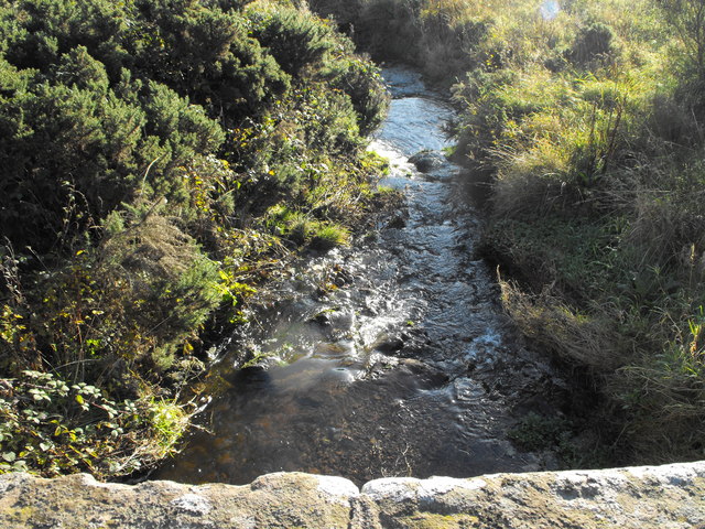
Burn under bridge by Biddrie, Garvock Hill
This unnamed burn flows from Garvock Hill, under this bridge, through a Den called Finella to the North Sea north east of St Cyrus.
 Map © Crown Copyright")
TIP: Click the map for more Large scale mapping
- Grid Square
- NO7568, 9 images (more nearby 🔍)
- Photographer
- Dona Robbins (more nearby)
- Date Taken
- Saturday, 30 October, 2010 (more nearby)
- Submitted
- Tuesday, 2 November, 2010
- Subject Location
-
OSGB36:
 NO 758 682 [100m precision]
WGS84: 56:48.3245N 2:23.8647W - Camera Location
-
OSGB36: NO 758 682
- View Direction
- EAST (about 90 degrees)