G0229 : Fork in the road, Crucknacolly, Co. Mayo
taken 13 years ago, 9 km WNW of Garranard, Co Mayo, Ireland
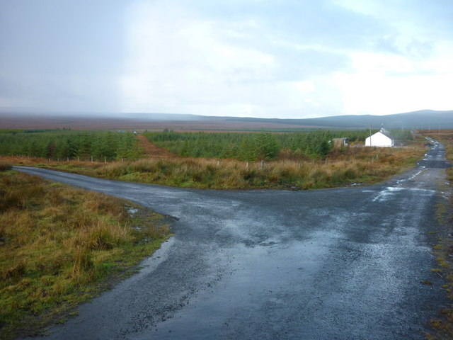
Fork in the road, Crucknacolly, Co. Mayo
A fork in the road, both leading to nowhere in particular. Domine, dirige nos!
![Creative Commons Licence [Some Rights Reserved]](https://s1.geograph.org.uk/img/somerights20.gif)
|
· Find out How to reuse this image ·
Share:
|
|||||
| Start a discussion on G0229 | Suggest an update to this image | Contact the contributor | |||
Loading map... (JavaScript required)
- Grid Square
- G0229 (more nearby
 )
)
- Photographer
- jeremy durrance (find more nearby)
- Date Taken
- Monday, 8 November, 2010 (more nearby)
- Submitted
- Monday, 8 November, 2010
- Category
- Country scene (more nearby)
- Subject Location
-
Irish:
 G 029 296 [100m precision]
WGS84: 54:12.3697N 9:29.3302W - Camera Location
-
Irish: G 029 296
- View Direction
- NORTH (about 0 degrees)
This page has been viewed about 78 times.
View this location:
KML (Google Earth) ·
Google Maps ·
Bing Maps ·
Geograph Coverage Map ·
More Links for this image
·
Bing Maps ·
Geograph Coverage Map ·
More Links for this image