2010
TQ3017 : Course of Roman road 150, Burgess Hill
taken 13 years ago, near to Burgess Hill, West Sussex, England
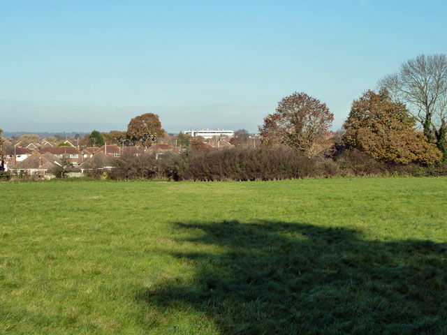
Course of Roman road 150, Burgess Hill
Margery's road 150 passed through the viewpoint and just to the left of the large white building. In the near field there are signs on aerial photographs, confirmed by a field inspection, of a series of damp lines parallel to the road course. Most of these are presumably post-Roman drainage, but two very close to the road course look rather different. It would require considerable imagination to detect a definite aggar between these parallel depressions.
 Map © Crown Copyright")
TIP: Click the map for more Large scale mapping
- Grid Square
- TQ3017, 21 images (more nearby 🔍)
- Photographer
- Robin Webster (more nearby)
- Date Taken
- Friday, 26 November, 2010 (more nearby)
- Submitted
- Friday, 26 November, 2010
- Subject Location
-
OSGB36:
 TQ 307 178 [100m precision]
WGS84: 50:56.7211N 0:8.3780W - Camera Location
-
OSGB36: TQ 307 178
- View Direction
- North-northeast (about 22 degrees)