2010
SO8796 : Footpath near Hill Croft Farm
taken 13 years ago, near to Lower Penn, Staffordshire, England
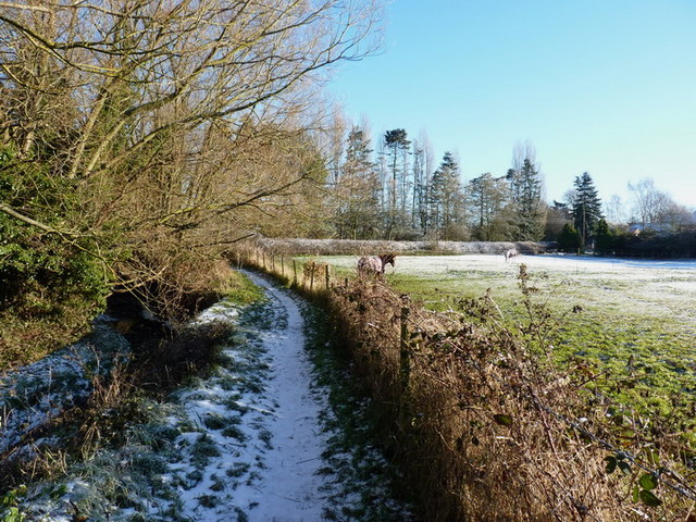
Footpath near Hill Croft Farm
The stream on the left is the Merryhill Brook a tributary of the Smestow Brook
 Map © Crown Copyright")
TIP: Click the map for more Large scale mapping
- Grid Square
- SO8796, 26 images (more nearby 🔍)
- Photographer
- Richard Law (more nearby)
- Date Taken
- Wednesday, 8 December, 2010 (more nearby)
- Submitted
- Wednesday, 8 December, 2010
- Subject Location
-
OSGB36:
 SO 877 965 [100m precision]
WGS84: 52:33.9712N 2:10.9382W - Camera Location
-
OSGB36: SO 876 964
- View Direction
- East-northeast (about 67 degrees)