2005
SN6087 : Cambrian view
taken 19 years ago, near to Upper Borth, Ceredigion/Sir Ceredigion, Wales
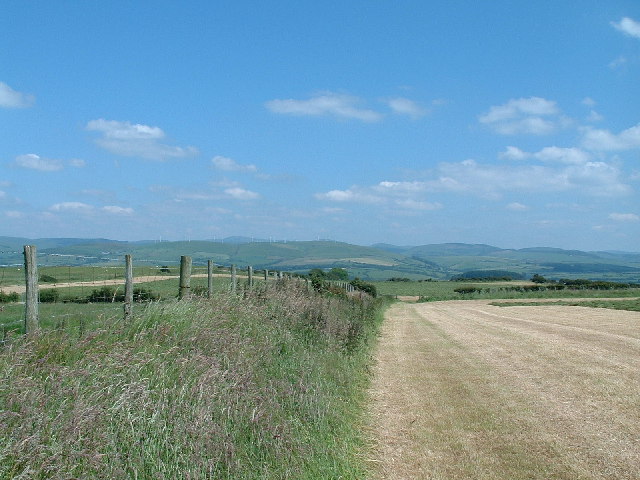
Cambrian view
Looking NE from the hill above Borth, towards the Wind Farm near to Devil's Bridge
 Map © Crown Copyright")
TIP: Click the map for more Large scale mapping
- Grid Square
- SN6087, 13 images (more nearby 🔍)
- Photographer
- John Phillips (more nearby)
- Date Taken
- Sunday, 26 June, 2005 (more nearby)
- Submitted
- Tuesday, 28 June, 2005
- Subject Location
-
OSGB36:
 SN 60 87 [1000m precision]
WGS84: 52:28.0539N 4:3.2985W