J3574 : Sliproad, Sydenham bypass, Belfast
taken 13 years ago, near to Belfast, Co Antrim, Northern Ireland
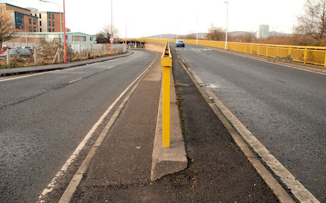
Sliproad, Sydenham bypass, Belfast
The sliproad (left) leads towards the Short Strand. The end of the Sydenham bypass (right) J3574 : Slip road, Sydenham bypass, Belfast (2) now leads, via the flyover J3574 : Bridge End flyover, Belfast, mainly to Bridge End and the city centre via the Queens Bridge. Both have become quiet, off-peak, since the opening of the M3 J3574 : The M3, Belfast - a road which was very successful at removing the through east north traffic from the city centre.
The Sydenham bypass, Belfast
Approximately 2½ miles of dual carriageway forming part of the Belfast Bangor Road. It runs from the end of the M3 to Tillysburn, parallel to the Belfast Bangor railway and also serves the George Best Belfast City Airport. It replaced the Holywood Road as the main road to Holywood and Bangor. There are plans for major improvements at the junction with Dee Street.
![Creative Commons Licence [Some Rights Reserved]](https://s1.geograph.org.uk/img/somerights20.gif)
|
· Find out How to reuse this image ·
Share:
|
|||||
| Start a discussion on J3574 | Suggest an update to this image | Contact the contributor | |||
Loading map... (JavaScript required)
- Grid Square
- J3574, 516 images (more nearby
 )
)
- Photographer
- Albert Bridge (find more nearby)
- Date Taken
- Thursday, 3 February, 2011 (more nearby)
- Submitted
- Thursday, 3 February, 2011
- Category
- Road > Road (more nearby)
- Subject Location
-
Irish:
 J 353 746 [100m precision]
WGS84: 54:36.0954N 5:54.3985W - Camera Location
-
Irish: J 353 746
- View Direction
- West-southwest (about 247 degrees)
Image classification(about):
Geograph
This page has been viewed about 100 times.
View this location:
KML (Google Earth) ·
Google Maps ·
Bing Maps ·
Geograph Coverage Map ·
More Links for this image
·
Bing Maps ·
Geograph Coverage Map ·
More Links for this image