2011
SU9662 : Ford, Watery Lane
taken 13 years ago, near to Chobham, Surrey, England
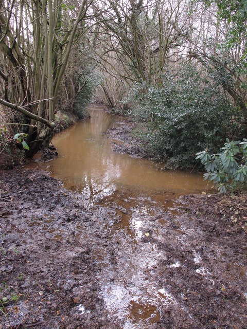
Ford, Watery Lane
Both OS Landranger and Explorer maps mark a ford here, where Ford Road turns into Watery Lane, however it seems the Clappers Brook has taken over the lower course of Watery Lane (never has a right of way been more aptly named!). A footpath now runs to the eastern side of the lane (out of picture to left). A more discernable ford is located near the southern end of Watery Lane at its junction with Clappers Lane (see SU9661 : Ford, Watery Lane).
 Map © Crown Copyright")
TIP: Click the map for more Large scale mapping
- Grid Square
- SU9662, 27 images (more nearby 🔍)
- Photographer
- Paul E Smith (more nearby)
- Date Taken
- Saturday, 12 February, 2011 (more nearby)
- Submitted
- Saturday, 12 February, 2011
- Subject Location
-
OSGB36:
 SU 965 620 [100m precision]
WGS84: 51:20.9707N 0:36.8744W - Camera Location
-
OSGB36: SU 965 621
- View Direction
- South-southeast (about 157 degrees)