H9486 : Ballyronan Picnic area
taken 18 years ago, near to Ballyronan, Co Londonderry, Northern Ireland
This is 1 of 2 images, with title Ballyronan Picnic area in this square
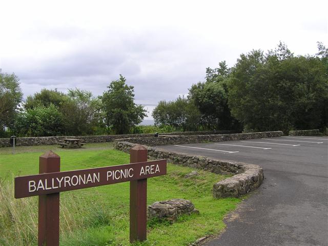
Ballyronan Picnic area
It is to the north of the village
![Creative Commons Licence [Some Rights Reserved]](https://s1.geograph.org.uk/img/somerights20.gif)
|
· Find out How to reuse this image ·
Share:
|
|||||
| Start a discussion on H9486 | Suggest an update to this image | Contact the contributor | |||
Loading map... (JavaScript required)
- Grid Square
- H9486, 6 images (more nearby
 )
)
- Photographer
- Kenneth Allen (find more nearby)
- Date Taken
- Saturday, 26 August, 2006 (more nearby)
- Submitted
- Sunday, 27 August, 2006
- Category
- Picnic area (more nearby)
- Subject Location
-
Irish:
 H 947 860 [100m precision]
WGS84: 54:42.8132N 6:31.8359W - Camera Location
-
Irish: H 947 860
- View Direction
- East-northeast (about 67 degrees)
This page has been viewed about 46 times.
View this location:
KML (Google Earth) ·
Google Maps ·
Bing Maps ·
Geograph Coverage Map ·
More Links for this image
·
Bing Maps ·
Geograph Coverage Map ·
More Links for this image