2006
TQ5559 : Whiteleaf Down on the North Downs Way
taken 18 years ago, near to Kemsing, Kent, England
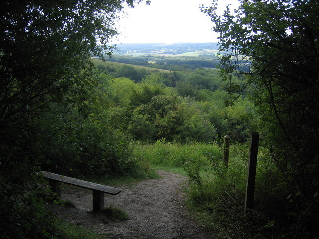
Whiteleaf Down on the North Downs Way
Whiteleaf Down is on the steep scarp slope of the North Downs. The fields and woods of the Weald of Kent can be seen in the distance.
 Map © Crown Copyright")
TIP: Click the map for more Large scale mapping
- Grid Square
- TQ5559, 30 images (more nearby 🔍)
- Photographer
- Pip Rolls (more nearby)
- Date Taken
- Monday, 28 August, 2006 (more nearby)
- Submitted
- Tuesday, 29 August, 2006
- Subject Location
-
OSGB36:
 TQ 552 594 [100m precision]
WGS84: 51:18.7531N 0:13.5270E - View Direction
- Southeast (about 135 degrees)