2011
NT0463 : Rough pasture
taken 13 years ago, near to Polbeth, West Lothian, Scotland
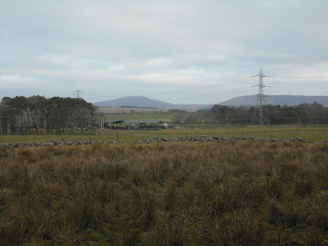
Rough pasture
With view to Canniehole and Cauldstane Slap (a Pentlands pass)
 Map © Crown Copyright")
TIP: Click the map for more Large scale mapping
- Grid Square
- NT0463, 9 images (more nearby 🔍)
- Photographer
- Jim Smillie (more nearby)
- Date Taken
- Saturday, 5 March, 2011 (more nearby)
- Submitted
- Saturday, 5 March, 2011
- Subject Location
-
OSGB36:
 NT 043 630 [100m precision]
WGS84: 55:51.0897N 3:31.7343W - Camera Location
-
OSGB36: NT 041 631
- View Direction
- East-southeast (about 112 degrees)