2006

NM7181 : Path to Peanmeanach

taken 18 years ago, 3 km from Roshven, Highland, Scotland
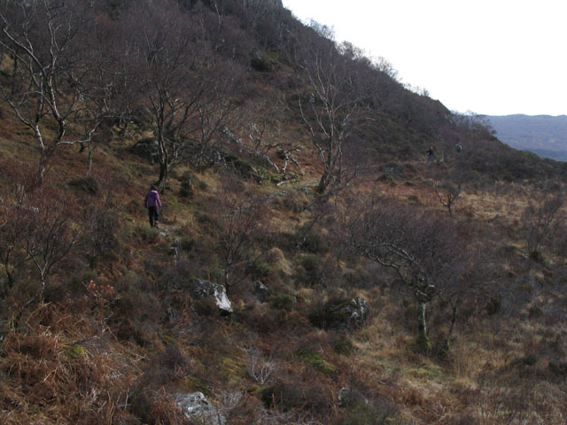
Path to Peanmeanach
Path to Peanmeanach
The path marked on the map was the sole land access to the now abandoned crofting township of Peanmeanach. Efforts are now being made to encourage native birch woodland regeneration in this area, but there are still too many deer for it to be effective.

Creative Commons Licence [Some Rights Reserved]   © Copyright RD no longer active and licensed for reuse under this Creative Commons Licence.
Category: Path > Path
This photo is linked from: Automatic Clusters: · Path [2] ·
1:50,000 Modern Day Landranger(TM) Map © Crown Copyright
+
+
1:50,000 Modern Day Landranger(TM) Map © Crown Copyright
TIP: Click the map for more Large scale mapping
Grid Square
NM7181, 7 images   (more nearby 🔍)
Photographer
RD no longer active   (more nearby)
Date Taken
Friday, 10 February, 2006   (more nearby)
Submitted
Thursday, 31 August, 2006
Subject Location
OSGB36: geotagged! NM 714 815 [100m precision]
WGS84: 56:52.1055N 5:45.1476W
Camera Location
OSGB36: geotagged! NM 714 816
View Direction
SOUTH (about 180 degrees)
Clickable map
+
NW N NE
W Go E
SW S SE
Image classification(about): Geograph (First for NM7181) · First in 5 Years (TPoint) (about)
This page has been viewed about 374 times
You are not logged in login | register