2011
SD9312 : Mavis Grove
taken 13 years ago, near to Milnrow, Rochdale, England
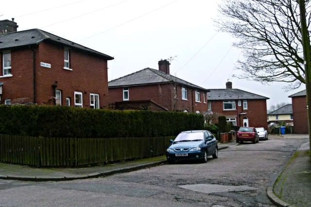
Mavis Grove
Part of the council estate built between the World Wars on the site of the Holts farms in Milnrow.
 Map © Crown Copyright")
TIP: Click the map for more Large scale mapping
- Grid Square
- SD9312, 109 images (more nearby 🔍)
- Photographer
- Bryan Tenny (more nearby)
- Date Taken
- Wednesday, 16 March, 2011 (more nearby)
- Submitted
- Wednesday, 16 March, 2011
- Subject Location
-
OSGB36:
 SD 931 125 [100m precision]
WGS84: 53:36.5783N 2:6.3094W - Camera Location
-
OSGB36: SD 931 126
- View Direction
- South-southeast (about 157 degrees)