S2515 : Cnoc an Aifrinn
taken 18 years ago, 7 km ENE of Ballymacarbry, Co Waterford, Ireland
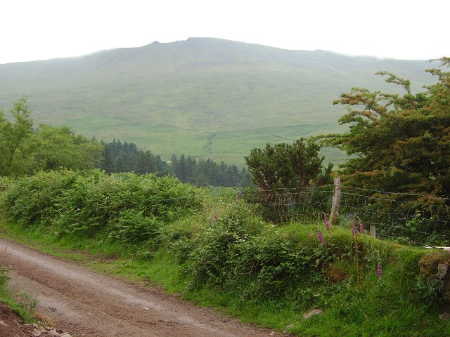
Cnoc an Aifrinn
A narrow mountain road serving farms in Glenanore under 755m high Knockanaffrin.
![Creative Commons Licence [Some Rights Reserved]](https://s1.geograph.org.uk/img/somerights20.gif)
|
· Find out How to reuse this image ·
Share:
|
|||||
| Start a discussion on S2515 | Suggest an update to this image | Contact the contributor | |||
Loading map... (JavaScript required)
- Grid Square
- S2515, 2 images (more nearby
 )
)
- Photographer
- Richard Webb (find more nearby)
- Date Taken
- Sunday, 25 June, 2006 (more nearby)
- Submitted
- Monday, 4 September, 2006
- Category
- Road > Road (more nearby)
- Subject Location
-
Irish:
 S 258 152 [100m precision]
WGS84: 52:17.3003N 7:37.3585W - View Direction
- EAST (about 90 degrees)
Image classification(about):
Geograph
This page has been viewed about 68 times.
View this location:
KML (Google Earth) ·
Google Maps ·
Bing Maps ·
Geograph Coverage Map ·
More Links for this image
·
Bing Maps ·
Geograph Coverage Map ·
More Links for this image