J3475 : Weir and cross-harbour links, Belfast (27)
taken 32 years ago, near to Belfast, Co Antrim, Northern Ireland
Weir and cross-harbour links, Belfast (27)
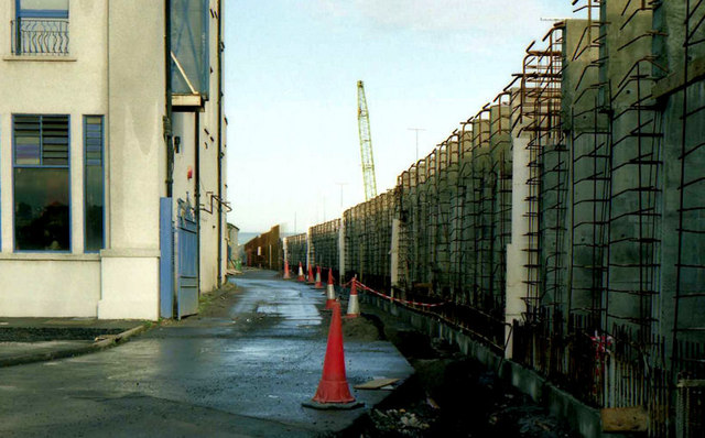
See J3475 : Weir and cross-harbour links, Belfast (26). Some six weeks later and there is a noticeable increase in the height of the railway embankment near what was to become Yorkgate station. Continue to J3474 : Weir and cross-harbour links, Belfast (28).
Building the Lagan weir and cross-harbour bridges, Belfast :: J3474
A collection of photographs showing the building of the Lagan weir and the cross-harbour road and railway bridges in the early 1990s. There are also some earlier shots of the pre-impounding River Lagan, of Donegall and Queens Quays, the Abercorn Basin and of the immediate area before demolition.
![Creative Commons Licence [Some Rights Reserved]](https://s1.geograph.org.uk/img/somerights20.gif)
|
· Find out How to reuse this image ·
Share:
|
|||||
| Start a discussion on J3475 | Suggest an update to this image | Contact the contributor | |||
Loading map... (JavaScript required)
- Grid Square
- J3475, 773 images (more nearby
 )
)
- Photographer
- Albert Bridge (find more nearby)
- Date Taken
- Saturday, 25 January, 1992 (more nearby)
- Submitted
- Wednesday, 6 April, 2011
- Category
- Construction site (more nearby)
- Subject Location
-
Irish:
 J 3434 7566 [10m precision]
WGS84: 54:36.6768N 5:55.2882W - Camera Location
-
Irish: J 3434 7565
- View Direction
- NORTH (about 0 degrees)
Image classification(about):
Geograph
This page has been viewed about 179 times.
View this location:
KML (Google Earth) ·
Google Maps ·
Bing Maps ·
Geograph Coverage Map ·
More Links for this image
·
Bing Maps ·
Geograph Coverage Map ·
More Links for this image