2011
SU2298 : Farmland near St Johns Lock
taken 13 years ago, near to Buscot, Oxfordshire, England
This is 1 of 2 images, with title Farmland near St Johns Lock in this square
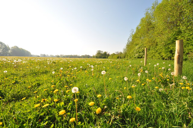
Farmland near St Johns Lock
 Map © Crown Copyright")
TIP: Click the map for more Large scale mapping
- Grid Square
- SU2298, 305 images (more nearby 🔍)
- Photographer
- andy dolman (more nearby)
- Date Taken
- Saturday, 23 April, 2011 (more nearby)
- Submitted
- Saturday, 23 April, 2011
- Subject Location
-
OSGB36:
 SU 224 985 [100m precision]
WGS84: 51:41.1374N 1:40.5735W - Camera Location
-
OSGB36: SU 223 987
- View Direction
- Southeast (about 135 degrees)