H7069 : Aghafad Townland
taken 18 years ago, 3 km from Cappagh, Co Tyrone, Northern Ireland
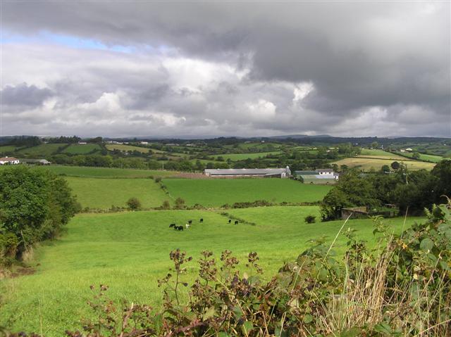
Aghafad Townland
The dark clouds are a sign that the rain is not very far away.
![Creative Commons Licence [Some Rights Reserved]](https://s1.geograph.org.uk/img/somerights20.gif)
|
· Find out How to reuse this image ·
Share:
|
|||||
| Start a discussion on H7069 | Suggest an update to this image | Contact the contributor | |||
Loading map... (JavaScript required)
- Grid Square
- H7069 (more nearby
 )
)
- Photographer
- Kenneth Allen (find more nearby)
- Date Taken
- Tuesday, 12 September, 2006 (more nearby)
- Submitted
- Wednesday, 13 September, 2006
- Category
- Countryside (more nearby)
- Subject Location
-
Irish:
 H 707 692 [100m precision]
WGS84: 54:33.9807N 6:54.4640W - Camera Location
-
Irish: H 707 690
- View Direction
- NORTH (about 0 degrees)
This page has been viewed about 172 times.
View this location:
KML (Google Earth) ·
Google Maps ·
Bing Maps ·
Geograph Coverage Map ·
More Links for this image
·
Bing Maps ·
Geograph Coverage Map ·
More Links for this image