2011
NH5364 : Ruined farmhouse at Balnacrae
taken 13 years ago, 4 km W of Swordale, Highland, Scotland
This is 1 of 2 images, with title Ruined farmhouse at Balnacrae in this square
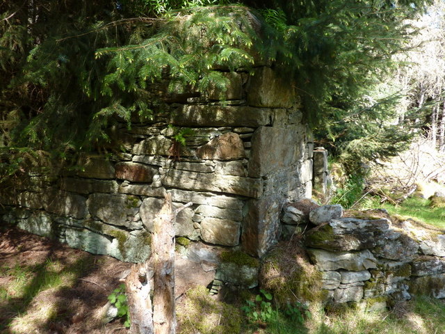
Ruined farmhouse at Balnacrae
West end of the ruined farmhouse at Balnacrae which is in the forestry plantation.
 Map © Crown Copyright")
TIP: Click the map for more Large scale mapping
- Grid Square
- NH5364, 6 images (more nearby 🔍)
- Photographer
- Geoff Potter (more nearby)
- Date Taken
- Wednesday, 4 May, 2011 (more nearby)
- Submitted
- Sunday, 8 May, 2011
- Subject Location
-
OSGB36:
 NH 534 649 [100m precision]
WGS84: 57:39.0172N 4:27.3994W - Camera Location
-
OSGB36: NH 535 648
- View Direction
- Northwest (about 315 degrees)