2010
SD8010 : Angouleme Way, Bury - 3-2-2010
taken 14 years ago, near to Fishpool, Bury, England
This is 1 of 5 images, with title starting with Angouleme Way, Bury in this square
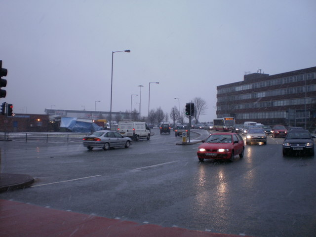
Angouleme Way, Bury - 3-2-2010
Angouleme Way is part of the 1970s bypass system in Bury town centre. On the left is the former DSS building. Seen here on a snowy day in 2010.
 Map © Crown Copyright")
TIP: Click the map for more Large scale mapping
- Grid Square
- SD8010, 1716 images (more nearby 🔍)
- Photographer
- Duncan Watts (more nearby)
- Date Taken
- Wednesday, 3 February, 2010 (more nearby)
- Submitted
- Thursday, 12 May, 2011
- Subject Location
-
OSGB36:
 SD 8051 1046 [10m precision]
WGS84: 53:35.4212N 2:17.7548W - Camera Location
-
OSGB36: SD 8051 1046
- View Direction
- EAST (about 90 degrees)