2006
TF8645 : East of Gun Hill
taken 18 years ago, near to Burnham Overy Staithe, Norfolk, England
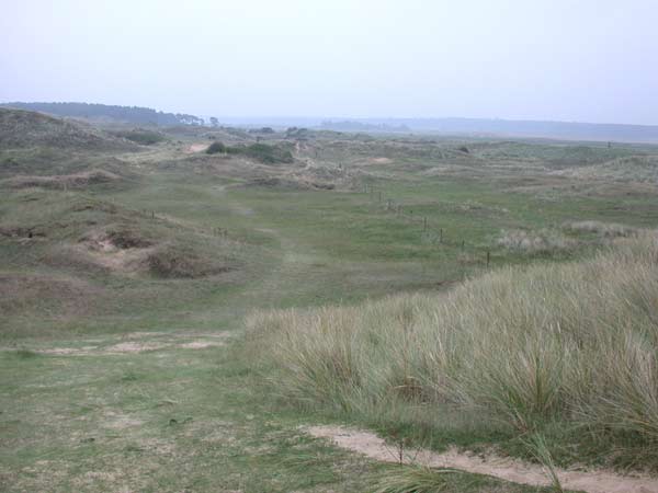
East of Gun Hill
Walking through the dunes east of Gun Hill, towards Holkham Meals.
 Map © Crown Copyright")
TIP: Click the map for more Large scale mapping
- Grid Square
- TF8645, 69 images (more nearby 🔍)
- Photographer
- Katie (more nearby)
- Date Taken
- Sunday, 17 September, 2006 (more nearby)
- Submitted
- Sunday, 17 September, 2006
- Subject Location
-
OSGB36:
 TF 861 456 [100m precision]
WGS84: 52:58.5262N 0:46.2142E - View Direction
- East-southeast (about 112 degrees)