2006
TG3716 : Ludham Bridge Mill (South)
taken 18 years ago, near to Upper Street, Norfolk, England
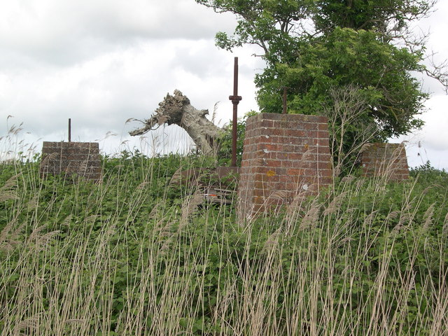
Ludham Bridge Mill (South)
Red brick piers are all that now remains of this trestle type windmill which would originally have been similar to Boardman's Mill at How Hill - see TG3619
 Map © Crown Copyright")
TIP: Click the map for more Large scale mapping
- Grid Square
- TG3716, 18 images (more nearby 🔍)
- Photographer
- Colin Mitchell (more nearby)
- Date Taken
- Monday, 29 May, 2006 (more nearby)
- Submitted
- Wednesday, 20 September, 2006
- Subject Location
-
OSGB36:
 TG 374 169 [100m precision]
WGS84: 52:41.8615N 1:30.7206E