2010
ST6477 : Frenchay: the six ton limit
taken 14 years ago, near to Frenchay, South Gloucestershire, England
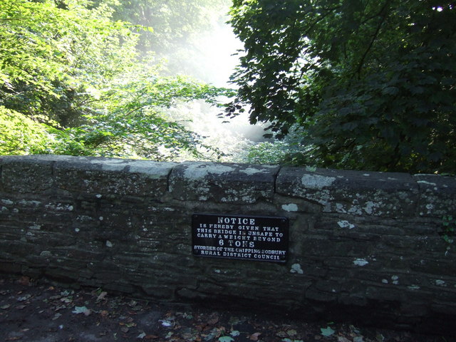
Frenchay: the six ton limit
This notice, dating from the glory days of Chipping Sodbury Rural District Council, is affixed to the old stone bridge across the River at Frenchay village. The bridge itself dates from 1788.
 Map © Crown Copyright")
TIP: Click the map for more Large scale mapping
- Grid Square
- ST6477, 78 images (more nearby 🔍)
- Photographer
- C P Smith (more nearby)
- Date Taken
- Friday, 27 August, 2010 (more nearby)
- Submitted
- Friday, 10 June, 2011
- Subject Location
-
OSGB36:
 ST 6443 7770 [10m precision]
WGS84: 51:29.8268N 2:30.8273W - Camera Location
-
OSGB36: ST 6444 7776
- View Direction
- South-southwest (about 202 degrees)