2011
SO1537 : Rough pasture by the Wye (the hedgeline marks the course of the dismantled railway)
taken 13 years ago, near to Pipton, Powys, Wales
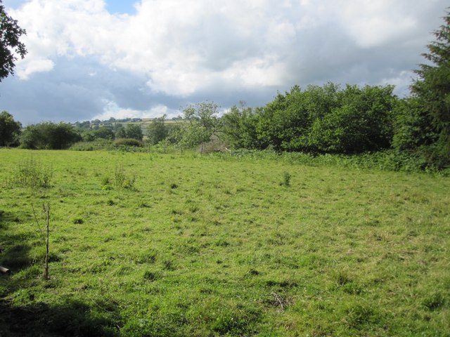
Rough pasture by the Wye (the hedgeline marks the course of the dismantled railway)
 Map © Crown Copyright")
TIP: Click the map for more Large scale mapping
- Grid Square
- SO1537, 5 images (more nearby 🔍)
- Photographer
- Keith Salvesen (more nearby)
- Date Taken
- Wednesday, 22 June, 2011 (more nearby)
- Submitted
- Wednesday, 22 June, 2011
- Subject Location
-
OSGB36:
 SO 1552 3778 [10m precision]
WGS84: 52:1.9182N 3:13.9714W - Camera Location
-
OSGB36: SO 1556 3774
- View Direction
- Northwest (about 315 degrees)