2011
NZ1860 : River Derwent, Derwenthaugh Park
taken 13 years ago, near to Whickham, Gateshead, England
This is 1 of 3 images, with title River Derwent, Derwenthaugh Park in this square
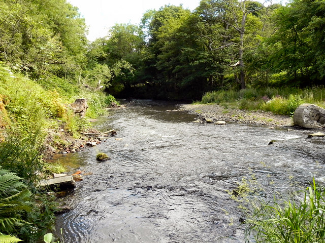
River Derwent, Derwenthaugh Park
The River Derwent, looking downstream from close to NZ1860 : Butterfly Bridge.
Derwent Walk Country Park and Derwenthaugh Park
The Derwent Walk Country Park is a mixture of woodlands, meadows, wetlands, riverside and reclaimed industrial sites all linked by the Derwent Walk. The Derwent Walk is the track-bed of the old Derwent Valley Railway. It is 11 miles long and follows the Derwent Valley between Swalwell and Consett.
Derwenthaugh Park is a reclaimed area that was (up to 1986) the site of the former Derwenthaugh Coke Works. The two parks are now managed as one and there is no boundary between them.
Link Gateshead Council
 Map © Crown Copyright")
TIP: Click the map for more Large scale mapping
- Grid Square
- NZ1860, 88 images (more nearby 🔍)
- Photographer
- David Dixon (more nearby)
- Date Taken
- Monday, 20 June, 2011 (more nearby)
- Submitted
- Sunday, 26 June, 2011
- Subject Location
-
OSGB36:
 NZ 1864 6051 [10m precision]
WGS84: 54:56.3348N 1:42.6352W - Camera Location
-
OSGB36: NZ 1862 6048
- View Direction
- Northeast (about 45 degrees)