2011
NX4685 : Dry Loch of the Dungeon
taken 13 years ago, near to Dungeon Hill [hill or Mountain], Dumfries And Galloway, Great Britain
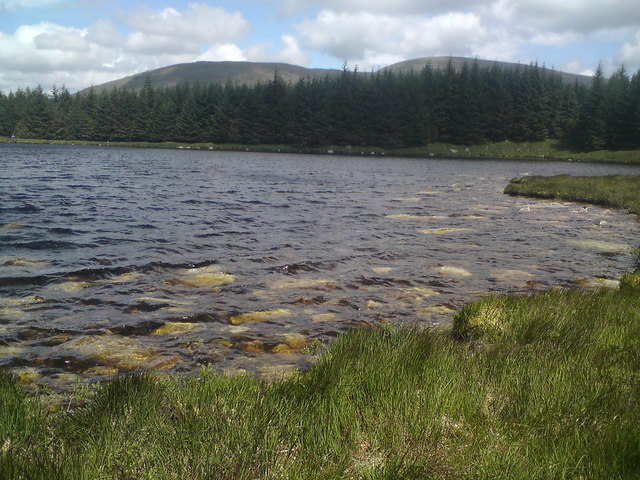
Dry Loch of the Dungeon
 Map © Crown Copyright")
TIP: Click the map for more Large scale mapping
- Grid Square
- NX4685, 16 images (more nearby 🔍)
- Photographer
- G Montgomery (more nearby)
- Date Taken
- Saturday, 9 July, 2011 (more nearby)
- Submitted
- Saturday, 16 July, 2011
- Subject Location
-
OSGB36:
 NX 4667 8561 [10m precision]
WGS84: 55:8.4620N 4:24.4270W - Camera Location
-
OSGB36: NX 4657 8555
- View Direction
- Northeast (about 45 degrees)