2011
TL2524 : Long way down
taken 13 years ago, near to St Nicholas, Hertfordshire, England
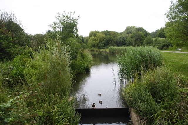
Long way down
Ducks on a stretch of water that is part of Fairlands Park
 Map © Crown Copyright")
TIP: Click the map for more Large scale mapping
- Grid Square
- TL2524, 15 images (more nearby 🔍)
- Photographer
- Barry Ephgrave (more nearby)
- Date Taken
- Sunday, 17 July, 2011 (more nearby)
- Submitted
- Sunday, 17 July, 2011
- Subject Location
-
OSGB36:
 TL 2535 2473 [10m precision]
WGS84: 51:54.4208N 0:10.7548W - Camera Location
-
OSGB36: TL 2534 2473
- View Direction
- SOUTH (about 180 degrees)