J3975 : The Cairnburn Road, Belfast (3)
taken 13 years ago, 3 km from Dundonald, Co Down, Northern Ireland
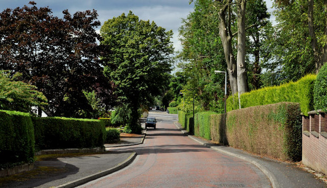
The Cairnburn Road, Belfast (3)
The Cairnburn Road, from the corner of Cairnburn Drive, looking down to the Old Holywood Road.
The Cairnburn Road, Belfast :: J3875
An almost semi-rural suburban road, in east Belfast, running from the Circular Road, to the Old Holywood Road and the Glenmachan Road.
![Creative Commons Licence [Some Rights Reserved]](https://s1.geograph.org.uk/img/somerights20.gif)
|
· Find out How to reuse this image ·
Share:
|
|||||
| Start a discussion on J3975 | Suggest an update to this image | Contact the contributor | |||
Loading map... (JavaScript required)
- Grid Square
- J3975, 81 images (more nearby
 )
)
- Photographer
- Albert Bridge (find more nearby)
- Date Taken
- Friday, 22 July, 2011 (more nearby)
- Submitted
- Friday, 22 July, 2011
- Geographical Context
- Subject Location
-
Irish:
 J 390 754 [100m precision]
WGS84: 54:36.4720N 5:50.9707W - Camera Location
-
Irish: J 390 754
- View Direction
- West-southwest (about 247 degrees)
Other Tags
Image classification(about):
Geograph
This page has been viewed about 87 times.
View this location:
KML (Google Earth) ·
Google Maps ·
Bing Maps ·
Geograph Coverage Map ·
More Links for this image
·
Bing Maps ·
Geograph Coverage Map ·
More Links for this image