2011
NT1413 : Priest Craig, Carrifran
taken 13 years ago, near to Raven Craig [hill or Mountain], Dumfries And Galloway, Great Britain
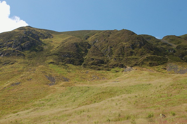
Priest Craig, Carrifran
The slopes below the crag have had some planting as part of the Wildwood project.
 Map © Crown Copyright")
TIP: Click the map for more Large scale mapping
- Grid Square
- NT1413, 7 images (more nearby 🔍)
- Photographer
- Jim Barton (more nearby)
- Date Taken
- Saturday, 30 July, 2011 (more nearby)
- Submitted
- Sunday, 31 July, 2011
- Subject Location
-
OSGB36:
 NT 1424 1307 [10m precision]
WGS84: 55:24.2423N 3:21.3515W - Camera Location
-
OSGB36: NT 1469 1333
- View Direction
- West-southwest (about 247 degrees)