J3774 : Suburban crossroads, Belfast (2)
taken 13 years ago, 3 km from Belfast, Co Antrim, Northern Ireland
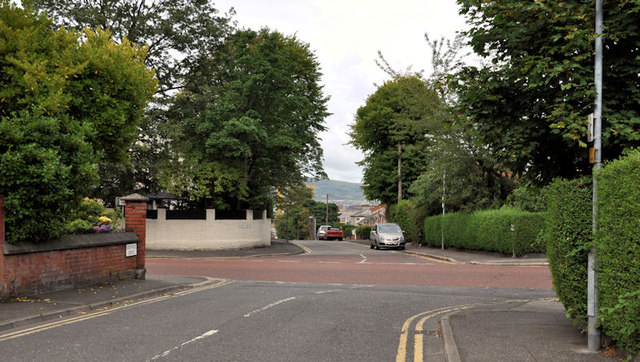
Suburban crossroads, Belfast (2)
Edenvale Drive (foreground) crossing the Holywood Road to Park Avenue.
![Creative Commons Licence [Some Rights Reserved]](https://s1.geograph.org.uk/img/somerights20.gif)
|
· Find out How to reuse this image ·
Share:
|
|||||
| Start a discussion on J3774 | Suggest an update to this image | Contact the contributor | |||
Loading map... (JavaScript required)
- Grid Square
- J3774, 464 images (more nearby
 )
)
- Photographer
- Albert Bridge (find more nearby)
- Date Taken
- Friday, 5 August, 2011 (more nearby)
- Submitted
- Friday, 5 August, 2011
- Geographical Context
- Subject Location
-
Irish:
 J 372 746 [100m precision]
WGS84: 54:36.0921N 5:52.6622W - Camera Location
-
Irish: J 372 746
- View Direction
- West-northwest (about 292 degrees)
Other Tags
Image classification(about):
Geograph
This page has been viewed about 40 times.
View this location:
KML (Google Earth) ·
Google Maps ·
Bing Maps ·
Geograph Coverage Map ·
More Links for this image
·
Bing Maps ·
Geograph Coverage Map ·
More Links for this image