2011
TM1433 : Dead tree near curve in footpath
taken 13 years ago, near to Stutton, Suffolk, England
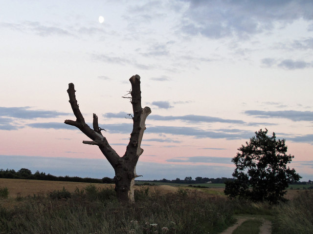
Dead tree near curve in footpath
Looks like this tree has been lopped since Bob Jones took his view TM1433 : Footpath to Stutton Ness in 2008
 Map © Crown Copyright")
TIP: Click the map for more Large scale mapping
- Grid Square
- TM1433, 62 images (more nearby 🔍)
- Photographer
- Roger Jones (more nearby)
- Date Taken
- Monday, 8 August, 2011 (more nearby)
- Submitted
- Tuesday, 9 August, 2011
- Subject Location
-
OSGB36:
 TM 1494 3345 [10m precision]
WGS84: 51:57.4783N 1:7.6123E - Camera Location
-
OSGB36: TM 1494 3351
- View Direction
- SOUTH (about 180 degrees)