2011
SH9275 : Nant Ganol path
taken 13 years ago, near to Rhyd-y-Foel, Conwy, Wales
This is 1 of 3 images, with title starting with Nant Ganol in this square
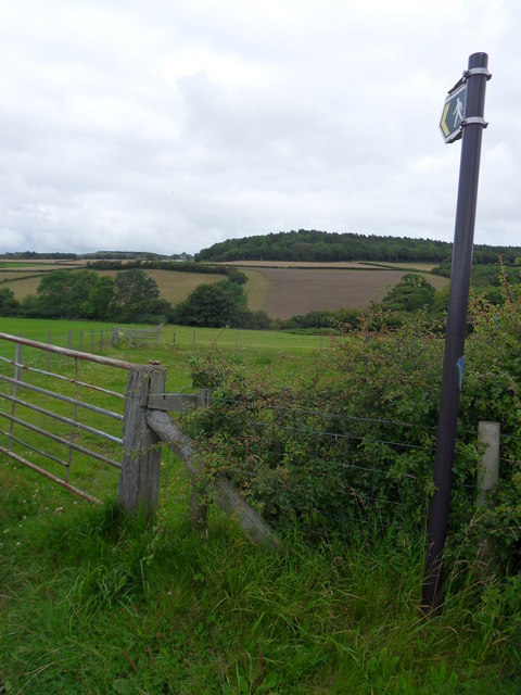
Nant Ganol path
Footpath adjacent to Nant Ganol leading to Pen-y-corddyn-mawr Hill Fort.
 Map © Crown Copyright")
TIP: Click the map for more Large scale mapping
- Grid Square
- SH9275, 8 images (more nearby 🔍)
- Photographer
- J Scott (more nearby)
- Date Taken
- Tuesday, 9 August, 2011 (more nearby)
- Submitted
- Saturday, 13 August, 2011
- Subject Location
-
OSGB36:
 SH 9267 7567 [10m precision]
WGS84: 53:16.0276N 3:36.6437W - Camera Location
-
OSGB36: SH 9267 7567
- View Direction
- North-northwest (about 337 degrees)