J2087 : Lane from Donegore motorway footbridge, Co Antrim
taken 18 years ago, 3 km from Templepatrick, Co Antrim, Northern Ireland
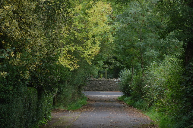
Lane from Donegore motorway footbridge, Co Antrim
See J2087 : M2 footbridge near Donegore, Co Antrim. This is the lane leading from the bridge to the Loughanmore Road.
![Creative Commons Licence [Some Rights Reserved]](https://s1.geograph.org.uk/img/somerights20.gif)
|
· Find out How to reuse this image ·
Share:
|
|||||
|
There is 1 post in a
discussion on J2087 (preview on the left) |
Suggest an update to this image | Contact the contributor | |||
Loading map... (JavaScript required)
- Grid Square
- J2087, 11 images (more nearby
 )
)
- Photographer
- Albert Bridge (find more nearby)
- Date Taken
- Sunday, 8 October, 2006 (more nearby)
- Submitted
- Sunday, 8 October, 2006
- Category
- Lane (more nearby)
- Subject Location
-
Irish:
 J 20 87 [1000m precision]
WGS84: 54:43.2642N 6:7.8402W - View Direction
- South-southeast (about 157 degrees)
Image classification(about):
Geograph
This page has been viewed about 145 times.
View this location:
KML (Google Earth) ·
Google Maps ·
Bing Maps ·
Geograph Coverage Map ·
More Links for this image
·
Bing Maps ·
Geograph Coverage Map ·
More Links for this image