2011
NH3620 : Looking down on Allt Loch a' Chràthaich and track from Meall nan Aighean
taken 13 years ago, 5 km WNW of Levishie, Highland, Scotland
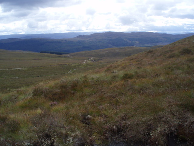
Looking down on Allt Loch a' Chràthaich and track from Meall nan Aighean
 Map © Crown Copyright")
TIP: Click the map for more Large scale mapping
- Grid Square
- NH3620, 12 images (more nearby 🔍)
- Photographer
- Sarah McGuire (more nearby)
- Date Taken
- Wednesday, 17 August, 2011 (more nearby)
- Submitted
- Thursday, 18 August, 2011
- Subject Location
-
OSGB36:
 NH 3646 2007 [10m precision]
WGS84: 57:14.5208N 4:42.7022W - Camera Location
-
OSGB36: NH 3638 2023
- View Direction
- South-southeast (about 157 degrees)