V5199 : Aghacarrible
taken 18 years ago, near to Lispole, Co Kerry, Ireland
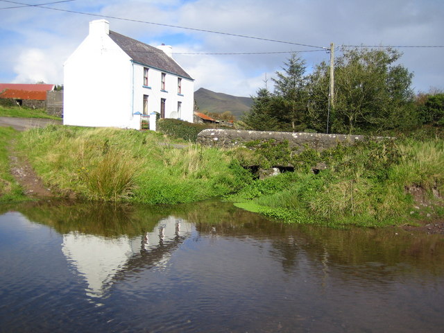
Aghacarrible
Road bridge and ford crossing the upstream reach of the Owenalondrig River in the townland of Aghacarrible.
![Creative Commons Licence [Some Rights Reserved]](https://s1.geograph.org.uk/img/somerights20.gif)
|
· Find out How to reuse this image ·
Share:
|
|||||
| Start a discussion on V5199 | Suggest an update to this image | Contact the contributor | |||
Loading map... (JavaScript required)
- Grid Square
- V5199 (more nearby
 )
)
- Photographer
- Nigel Cox (find more nearby)
- Date Taken
- Tuesday, 3 October, 2006 (more nearby)
- Submitted
- Tuesday, 10 October, 2006
- Category
- Bridge (more nearby)
- Subject Location
-
Irish:
 V 515 997 [100m precision]
WGS84: 52:7.7820N 10:10.1589W - Camera Location
-
Irish: V 515 996
- View Direction
- NORTH (about 0 degrees)
This page has been viewed about 93 times.
View this location:
KML (Google Earth) ·
Google Maps ·
Bing Maps ·
Geograph Coverage Map ·
More Links for this image
·
Bing Maps ·
Geograph Coverage Map ·
More Links for this image