2011
NO3241 : Path going NE from Kilpurney Hill
taken 13 years ago, near to Wester Denoon, Angus, Scotland
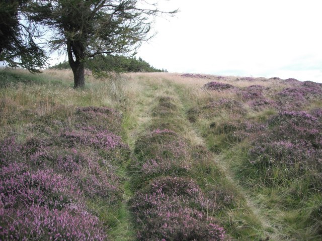
Path going NE from Kilpurney Hill
This is a viable footpath on a route between the Angus Council Core Path up Kilpurnedy Hill and the Core Path around Henderston Hill
 Map © Crown Copyright")
TIP: Click the map for more Large scale mapping
- Grid Square
- NO3241, 23 images (more nearby 🔍)
- Photographer
- AllanKnaik (more nearby)
- Date Taken
- Monday, 29 August, 2011 (more nearby)
- Submitted
- Monday, 29 August, 2011
- Subject Location
-
OSGB36:
 NO 3287 4187 [10m precision]
WGS84: 56:33.8382N 3:5.6350W - Camera Location
-
OSGB36: NO 3274 4180
- View Direction
- East-northeast (about 67 degrees)