2011
SU9130 : Small pond on Black Down
taken 13 years ago, near to Kingsley Green, West Sussex, England
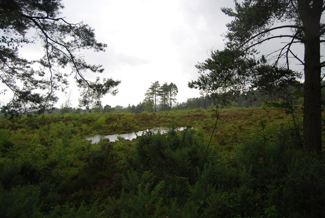
Small pond on Black Down
Blackdown, or Black Down, is the highest hill in Sussex, at 280 metres (919 feet), and is second only to Leith Hill (294 metres, 965 feet) in south-eastern England.
It is also the highest point in the South Downs National Park although it is located on the Greensand Ridge. The area is crossed by the Sussex Border Path and Serpent Trail. The pine and heather-covered slopes are owned by the National Trust, and are a favourite walking spot.
Wikipedia: Link
See other images of Black Down
 Map © Crown Copyright")
TIP: Click the map for more Large scale mapping
- Grid Square
- SU9130, 64 images (more nearby 🔍)
- Photographer
- N Chadwick (more nearby)
- Date Taken
- Saturday, 9 July, 2011 (more nearby)
- Submitted
- Friday, 2 September, 2011
- Subject Location
-
OSGB36:
 SU 9197 3037 [10m precision]
WGS84: 51:3.9185N 0:41.3320W - Camera Location
-
OSGB36: SU 9197 3035
- View Direction
- NORTH (about 0 degrees)