1999
NN6391 : Sheep on the Laggan to Dalwhinnie road
taken 25 years ago, near to Catlodge, Highland, Scotland
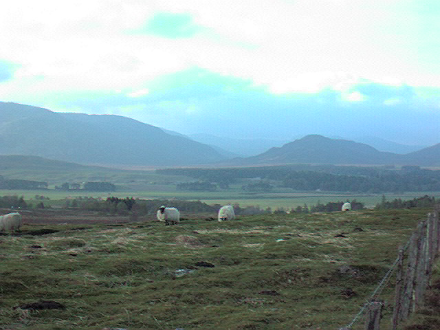
Sheep on the Laggan to Dalwhinnie road
A fine view looking north from the A889, statistically Scotland's most dangerous road!
 Map © Crown Copyright")
TIP: Click the map for more Large scale mapping
- Grid Square
- NN6391, 17 images (more nearby 🔍)
- Photographer
- John G Burns (more nearby)
- Date Taken
- Monday, 19 April, 1999 (more nearby)
- Submitted
- Thursday, 12 October, 2006
- Subject Location
-
OSGB36:
 NN 63 91 [1000m precision]
WGS84: 56:59.6662N 4:14.9071W - View Direction
- NORTH (about 0 degrees)