2011
TQ3579 : Prince Regent public house (site of)
taken 13 years ago, near to Stepney, Tower Hamlets, England
Prince Regent public house (site of)
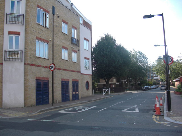
Site of that was the east side of Clarence Street, Rotherhithe,SE16 (now Canon Beck Road), from 1814 to 1821. After looking at many maps I have taken an 'educated guess' and placed it between Brunel Road (where I am standing to take the image) down to the old Albion Dock as per image.
 Map © Crown Copyright")
TIP: Click the map for more Large scale mapping
- Grid Square
- TQ3579, 756 images (more nearby 🔍)
- Photographer
- Chris Lordan (more nearby)
- Date Taken
- Sunday, 24 July, 2011 (more nearby)
- Submitted
- Friday, 23 September, 2011
- Subject Location
-
OSGB36:
 TQ 3540 7983 [10m precision]
WGS84: 51:30.0718N 0:3.0398W - Camera Location
-
OSGB36: TQ 3540 7983
- View Direction
- South-southeast (about 157 degrees)