2011
TA0223 : Barton Haven
taken 13 years ago, near to Humber Bridge, East Riding of Yorkshire, England
This is 1 of 48 images, with title Barton Haven in this square
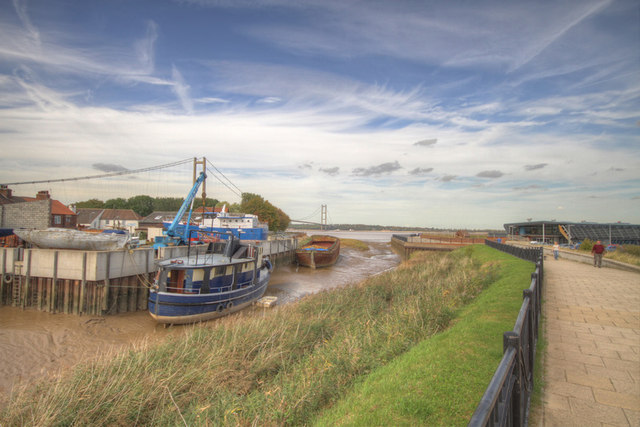
Barton Haven
 Map © Crown Copyright")
TIP: Click the map for more Large scale mapping
- Grid Square
- TA0223, 582 images (more nearby 🔍)
- Photographer
- JOHN BLAKESTON (more nearby)
- Date Taken
- Monday, 26 September, 2011 (more nearby)
- Submitted
- Tuesday, 27 September, 2011
- Subject Location
-
OSGB36:
 TA 0292 2329 [10m precision]
WGS84: 53:41.7551N 0:26.5616W - Camera Location
-
OSGB36: TA 0300 2319
- View Direction
- Northwest (about 315 degrees)