2005
SX6262 : Stall Moor
taken 19 years ago, 3 km from Harford, Devon, England
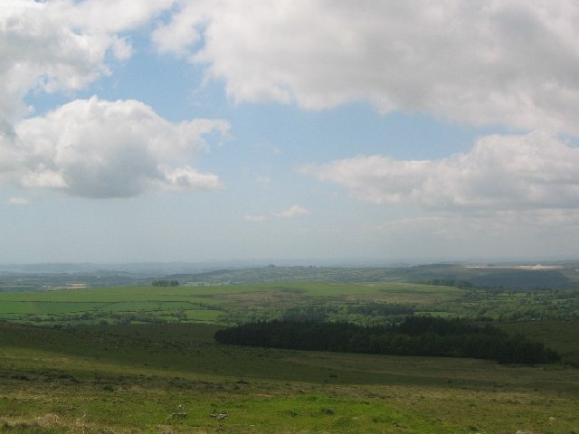
Stall Moor
This picture is taken looking SW towards the woodland known as Dendles Waste. The northern end of the woodland has been felled recently and so it appears smaller than on the map. To the left on the green hill in the mid distance is a small wood called Hanger Down Clump and is a very useful landmark. In the distance to right there are the Headon China Clay Works
 Map © Crown Copyright")
TIP: Click the map for more Large scale mapping
- Grid Square
- SX6262, 6 images (more nearby 🔍)
- Photographer
- Barnowl (more nearby)
- Date Taken
- Sunday, 29 May, 2005 (more nearby)
- Submitted
- Tuesday, 12 July, 2005
- Subject Location
-
OSGB36:
 SX 62 62 [1000m precision]
WGS84: 50:26.7713N 3:56.2766W