2011
SK0572 : Footpath through High Plantation near Buxton
taken 13 years ago, near to Buxton, Derbyshire, England
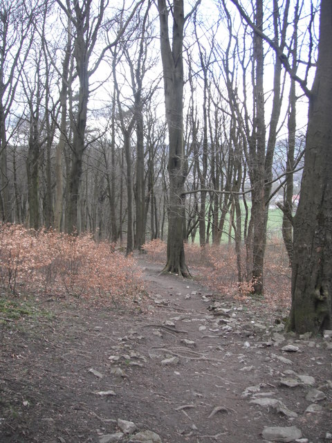
Footpath through High Plantation near Buxton
 Map © Crown Copyright")
TIP: Click the map for more Large scale mapping
- Grid Square
- SK0572, 72 images (more nearby 🔍)
- Photographer
- Eileen Littler (more nearby)
- Date Taken
- Sunday, 3 April, 2011 (more nearby)
- Submitted
- Saturday, 15 October, 2011
- Subject Location
-
OSGB36:
 SK 0554 7217 [10m precision]
WGS84: 53:14.7913N 1:55.1062W - Camera Location
-
OSGB36: SK 0554 7217
- View Direction
- North-northwest (about 337 degrees)