1998
NH6539 : The fields above Essich
taken 25 years ago, near to Essich, Highland, Scotland
This is 1 of 2 images, with title The fields above Essich in this square
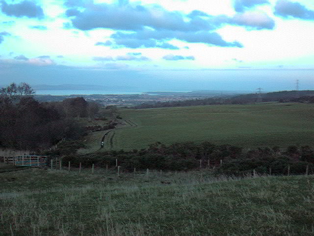
The fields above Essich
 Map © Crown Copyright")
TIP: Click the map for more Large scale mapping
- Grid Square
- NH6539, 17 images (more nearby 🔍)
- Photographer
- John G Burns (more nearby)
- Date Taken
- Tuesday, 22 December, 1998 (more nearby)
- Submitted
- Sunday, 22 October, 2006
- Subject Location
-
OSGB36:
 NH 650 391 [100m precision]
WGS84: 57:25.3283N 4:14.9783W - View Direction
- North-northeast (about 22 degrees)