H4609 : Traffic joining the R188 from the direction of Ballyhaise at Drumhoan
taken 13 years ago, 3 km from Ballyhaise, Co Cavan, Ireland
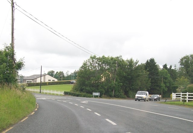
Traffic joining the R188 from the direction of Ballyhaise at Drumhoan
The building in the background is St Patrick's National School, Castletara.
![Creative Commons Licence [Some Rights Reserved]](https://s1.geograph.org.uk/img/somerights20.gif)
|
· Find out How to reuse this image ·
Share:
|
|||||
| Start a discussion on H4609 | Suggest an update to this image | Contact the contributor | |||
Loading map... (JavaScript required)
- Grid Square
- H4609 (more nearby
 )
)
- Photographer
- Eric Jones (find more nearby)
- Date Taken
- Monday, 27 June, 2011 (more nearby)
- Submitted
- Wednesday, 26 October, 2011
- Geographical Context
- Subject Location
-
Irish:
 H 467 092 [100m precision]
WGS84: 54:1.8147N 7:17.2856W - Camera Location
-
Irish: H 467 091
- View Direction
- Northwest (about 315 degrees)
This page has been viewed about 59 times.
View this location:
KML (Google Earth) ·
Google Maps ·
Bing Maps ·
Geograph Coverage Map ·
More Links for this image
·
Bing Maps ·
Geograph Coverage Map ·
More Links for this image