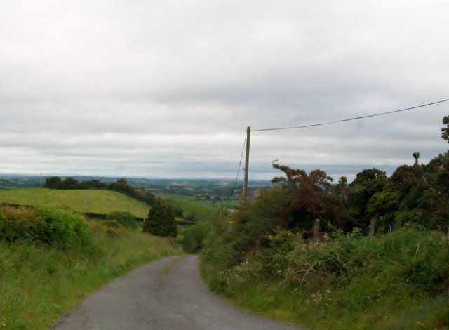
H7101 : Descending road in Glasleck Lower
taken 13 years ago, near to Glasleck, Co Cavan, Ireland
![Creative Commons Licence [Some Rights Reserved]](https://s1.geograph.org.uk/img/somerights20.gif)
|
· Find out How to reuse this image ·
Share:
|
|||||
| Start a discussion on H7101 | Suggest an update to this image | Contact the contributor | |||
Loading map... (JavaScript required)
- Grid Square
- H7101 (more nearby
 )
)
- Photographer
- Eric Jones (find more nearby)
- Date Taken
- Saturday, 25 June, 2011 (more nearby)
- Submitted
- Wednesday, 2 November, 2011
- Geographical Context
- Subject Location
-
Irish:
 H 718 019 [100m precision]
WGS84: 53:57.7287N 6:54.3462W - Camera Location
-
Irish: H 718 019
- View Direction
- North-northwest (about 337 degrees)
This page has been viewed about 35 times.
View this location:
KML (Google Earth) ·
Google Maps ·
Bing Maps ·
Geograph Coverage Map ·
More Links for this image
·
Bing Maps ·
Geograph Coverage Map ·
More Links for this image