2011
NX4170 : Rig of Glenmalloch
taken 12 years ago, 3 km from Cumloden, Dumfries And Galloway, Scotland
This is 1 of 2 images, with title Rig of Glenmalloch in this square
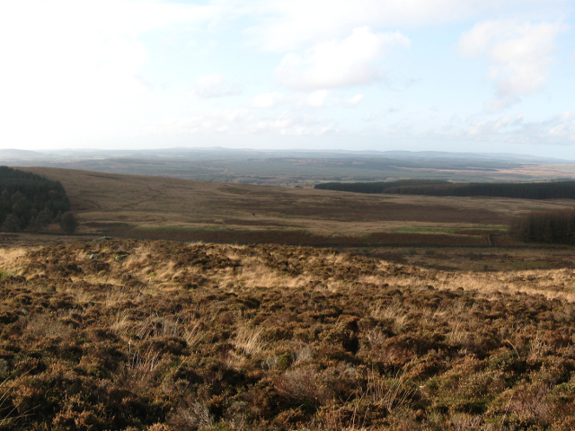
Rig of Glenmalloch
The moorland of Glenmalloch hill.
 Map © Crown Copyright")
TIP: Click the map for more Large scale mapping
- Grid Square
- NX4170, 2 images (more nearby 🔍)
- Photographer
- CBL (more nearby)
- Date Taken
- Saturday, 12 November, 2011 (more nearby)
- Submitted
- Sunday, 20 November, 2011
- Subject Location
-
OSGB36:
 NX 415 703 [100m precision]
WGS84: 55:0.1228N 4:28.7779W - Camera Location
-
OSGB36: NX 418 703
- View Direction
- WEST (about 270 degrees)