H9176 : Drumad Road
taken 17 years ago, near to The Diamond, Co Tyrone, Northern Ireland
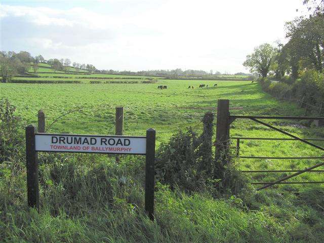
Drumad Road
It is in the townland of Ballymurphy
![Creative Commons Licence [Some Rights Reserved]](https://s1.geograph.org.uk/img/somerights20.gif)
|
· Find out How to reuse this image ·
Share:
|
|||||
| Start a discussion on H9176 | Suggest an update to this image | Contact the contributor | |||
Loading map... (JavaScript required)
- Grid Square
- H9176 (more nearby
 )
)
- Photographer
- Kenneth Allen (find more nearby)
- Date Taken
- Tuesday, 31 October, 2006 (more nearby)
- Submitted
- Thursday, 2 November, 2006
- Category
- Countryside (more nearby)
- Subject Location
-
Irish:
 H 919 760 [100m precision]
WGS84: 54:37.4298N 6:34.6777W - Camera Location
-
Irish: H 919 761
- View Direction
- SOUTH (about 180 degrees)
This page has been viewed about 52 times.
View this location:
KML (Google Earth) ·
Google Maps ·
Bing Maps ·
Geograph Coverage Map ·
More Links for this image
·
Bing Maps ·
Geograph Coverage Map ·
More Links for this image